Department of City Planning311Search all NYC.gov websites


Geosupport Desktop Edition™
Geosupport Users! Help us get to know you and your needs by taking a short survey.
| A note about new political redistricting geographies: |
Release 24A1 contains revised Election Districts implemented by NYC Board of Elections, as well as Congressional District Boundaries that are effective as of February 28, 2024. Pre-Redistricting political boundaries can be downloaded from the Archive page as version 24A. |
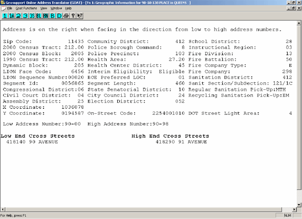
Geosupport Desktop EditionTM is a highly customized geocoding package that allows users to process geographic information for New York City.
Once you download and extract the contents of the zipped file, you can start the installation process by double-clicking on setup.exe. When complete, you can launch the program and view the readme file. Users are urged to view the readme.txt file as it contains information not found elsewhere in the user documentation.
A complete set of documentation manuals can be found in:
C:\program files\geosupport desktop edition\doc
Please note: If you chose to install to a location other than ‘c:\program files’, then substitute this location in front of ‘\geosupport desktop edition\doc’.
Which Version of Geosupport Desktop Edition Should I Install?
I f you are planning to use NYCgbat, Geosupport Desktop Edition’s (GDE) batch geocoding application, you should download the version that is consistent with your ODBC drivers. For most users the ODBC drivers will be installed with Microsoft Office. If you have the 32-bit version of Office installed, then you should download and install the 32-bit version of GDE, even if your PC is 64-bit. If you have the 64-bit version of Office installed, then you should download and install the 64-bit version of GDE.
What are the UPAD and TPAD files?
UPAD (Updated Property Address Directory) is an ancillary file that contains property level address, tax parcel, and building identification number updates made to the Geosupport Desktop Edition’s™ PAD™ (Property Address Directory) file since its last quarterly release.
Note to Users:
The PAD™ file contains data relating to all the property parcels (i.e. tax block and lots) in the City of New York. Included in the PAD™ file are property level addresses, Building Identification Numbers (BINs), Business Improvements Districts, etc.
TPAD (Transitional Property Address Directory) provides users with up-todate property related information received from the Department of Buildings, such as job filings for new fbuildings (NB) as well as status updates of new construction and/or demolition. The UPAD and TPAD files are released biweekly. To get the latest version of
the files, download the appropriate installation package from the list below.
Note to Users:
You must have the most recent quarterly release of the Geosupport Desktop Edition™ installed before installing biweekly UPAD and TPAD files.
| Release 24A1 | Download | Size |
|---|---|---|
| Windows version of Geosupport Desktop - Standard 32-bit |  |
Zipped 251 Mb |
| Windows version of Geosupport Desktop - Standard 64-bit |
|
Zipped 240 Mb |
| Linux version of Geosupport Desktop | |
Zipped 196 Mb |
| UPAD / TPAD Release 24A3 | Download | Size |
| Windows version of UPAD / TPAD - Standard 32-bit | |
Zipped 5.3 Mb |
| Windows version of UPAD / TPAD - Standard 64-bit | |
Zipped 5.3 Mb |
| Linux version of UPAD / TPAD | |
Zipped 1.9 Mb |
For earlier versions see Geosupport Desktop Edition Releases on the BYTES of Big Apple archive page.
Note to Users: Available to users without a license agreement as of Release 12C.