
 Department of City Planning311Search all NYC.gov websites


East Shore Neighborhoods

On September 7, 2017, City Council adopted the East Shore Special Coastal Risk District and Rezoning which are now in effect.
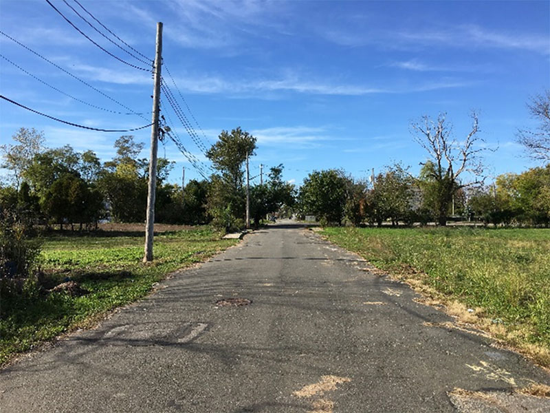
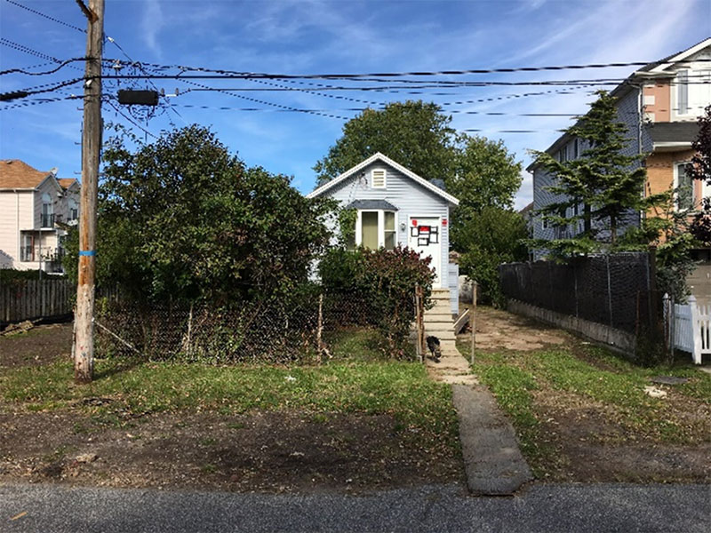
In the months following Hurricane Sandy, the New York State Office of Storm Recovery (GOSR) designated the Oakwood Beach, Ocean Breeze, and Graham Beach neighborhoods as Enhanced Buyout Areas due to high flood risk and the overall communities’ support to participate in the program. Within these defined boundaries the State offered to buy homes at pre-storm value that sustained substantial damage as a result of Sandy, Tropical Storm Lee, or Hurricane Irene. These areas were determined to be most at risk in future disasters due to their low lying elevations and proximity to the coast. The stated goal of this program was to acquire private property, demolish existing structures, and convert the land to open space to serve as buffers to future storms. However, participation in the program was voluntary and not all property owners have opted to participate.
The project area largely consists of one- and two-family residential buildings and is currently zoned R3-1 and R3X with limited areas of R3-2. Several retail and service businesses are located in a C1-1 commercial overlay mapped in Graham Beach along Father Capodanno Boulevard.
City Planning, in coordination with local leaders and area stakeholders, developed a rezoning that seeks to address the exceptional risks from natural hazards these areas face, as well as their unique programmatic, environmental, and land use conditions. The text amendment and rezoning seeks to achieve the following goals:
- Align local land-use regulations with New York State’s long term vision for open space in the Enhanced Buyout Areas.
- Reduce risk to public safety by limiting future residential development in areas highly vulnerable to flooding and other natural hazards, while ensuring preservation of ecologically sensitive areas.
- Align commercial zoning with existing uses and building character, while providing relief from high parking requirements that may inhibit rebuilding after future floods.
The rezoning includes a Text Amendment to create a new Special Coastal Risk District to ensure that new development minimize risks for public safety and is consistent with plans for open space, wetland conservation, and infrastructure. The special district will:
- Limit all new development to single-family detached residences.
- Require a City Planning Commission authorization for all new development and horizontal enlargements, with potential for bulk modifications allowed to limit encroachment on wetlands.
- Prohibit community facilities with sleeping accommodations.
- Allow substantially-damaged existing homes to rebuild as a single-family detached residence, subject to CPC authorization.
- Allow Sandy-damaged buildings to rebuild as-of-right.
- Allow elevations and other minor repairs to existing buildings as-of-right.
In addition, the rezoning includes the modification of an existing C1-1 commercial overlay in Graham Beach. The C1-1 overlay was reduced in size and replaced with a C1-3 commercial overlay. The C1-3 overlay will better reflect existing patterns of commercial development in the area and, by reducing parking requirements, have the added benefit of making rebuilding easier in the aftermath of future floods.
On April 24, 2017, the Department of City Planning certified the Uniform Land Use Review Procedure (ULURP) applications for the East Shore Special Coastal Risk Subdistrict & Rezoning (C 170373 ZMR and N 170374 ZRR). During this time, the public has a chance to formally comment on the proposal. Staten Island Community Boards 2 and 3, Staten Island Borough Board, the City Planning Commission and the City Council Zoning Subcommittee held hearings and issued formal recommendations prior to its adoption by City Council on September 7, 2017.
| ULURP Milestone | Target Dates |
|---|---|
| Department of City Planning Certification | April 24, 2017 – |
| Staten Island Community Board 2 Review | May 2, 2017 – |
| Staten Island Community Board 3 Review | May 10, 2017 – |
| Staten Island Borough President and Borough Board Review | June 7, 2017 – |
| City Planning Commission Review | July 10, 2017 – |
| City Planning Commission Approval | August 9, 2017 |
| City Council Hearing | September 5, 2017 – |
| City Council Approval | September 7, 2017 |
For more information contact: ResilientSI_DL@planning.nyc.gov
![]() Items accompanied by this symbol require the free Adobe Acrobat Reader.
Items accompanied by this symbol require the free Adobe Acrobat Reader.