
 Department of City Planning311Search all NYC.gov websites


East New York Neighborhood Plan
The Department of City Planning and other City agencies worked with community residents, elected officials and stakeholders to identify needs and opportunities for improvements to support the long-term growth and sustainability of the neighborhood. The City’s investments in infrastructure and services were aligned to address the goals and objectives identified in this planning process. Partnering with DCP on this Plan are the Department of Housing Preservation and Development (HPD), Department of Small Business Services (SBS), NYC Economic Development Corporation (EDC), Department of Transportation (DOT), Department of Parks and Recreation (DPR), and the School Construction Authority (SCA).
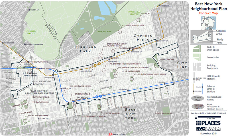
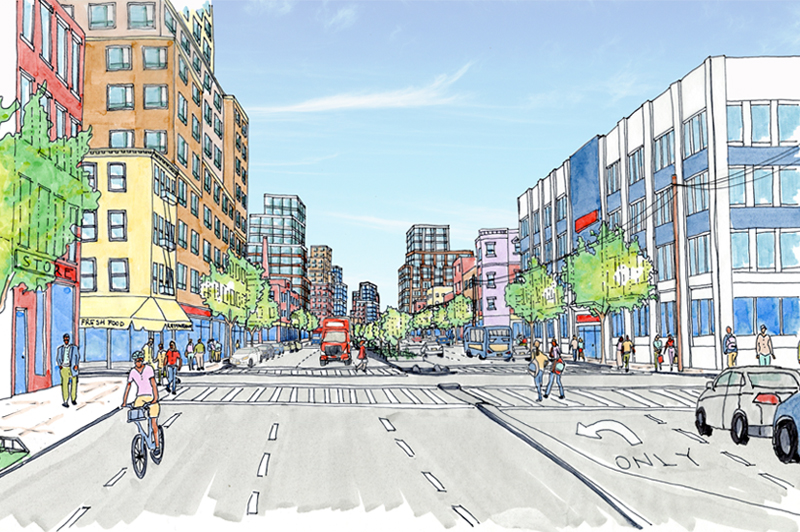
The East New York Community Plan study area includes portions of the neighborhoods of East New York, Cypress Hills and Ocean Hill. This area contains three major east-west corridors of Atlantic Avenue, Fulton Street, and Pitkin Avenue:
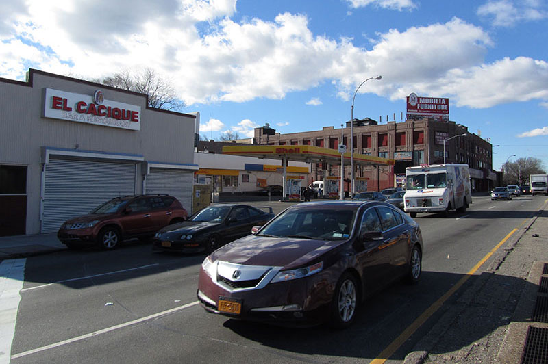
- Atlantic Avenue is the widest corridor running through the study area and is one of the main thoroughfares in Brooklyn. The corridor is home to a mix of auto-oriented commercial and semi-industrial uses such as such as gas stations, car washes, auto repair shops, storage facilities, and fast food restaurants. There are very few residential uses along the corridor.
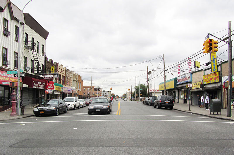
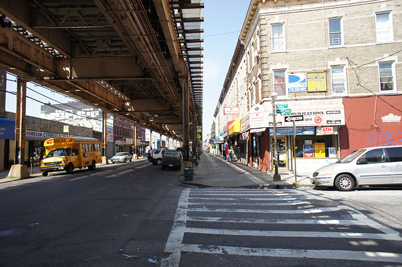
- Fulton Street is an active local shopping corridor lined with two- to four-story buildings with small stores on the ground floors and housing above; the J/Z line runs above grade along much of the corridor.
- Pitkin Avenue is a wide street and transit corridor generally characterized by two- to four- story residential buildings with some ground floors occupied by stores and others converted to residential use. The A/C line runs below grade along Pitkin Avenue.
The side streets between these corridors are generally comprised of low-scale row-houses, semi-detached homes and small apartment buildings interspersed with semi-industrial and open industrial uses.

Past Events
Visioning Events
At visioning events, the Department of City Planning and other agencies met with a large number of residents to learn as much as possible about the community, including the existing challenges, needs and opportunities.
2014
- Kick-off Workshop – September 20 [
 presentation]
 - Streetscapes & Transportation and Community Resources – October 2 [ agenda]
- Economic Development – October 16 [ agenda]
- Housing – October 29 [ agenda]
- Community Planning Workshop – November 15 [presentation]
- Ocean Hill Planning Workshop – December 9 [ agenda]
Report-Back Events
At report-back events, City Planning shared information received at the visioning events with the community to get feedback and help to prioritize needs and opportunities.
2014
- Economic Development, Community Resources, and Transportation – November 20 [ agenda]
- Housing – December 18 [ agenda]
Community Plan Events
2015
- Release of Draft Community Plan – January 24 View an Overview of the Plan. View the Zoning Proposal.
- Plan Comunitario Taller en Español – March 17 [ flyer]
- Town Hall on the East New York Community Plan
The Sustainable Communities East New York study, completed in 2014, examined neighborhood assets and opportunities and made recommendations that provided a foundation for the East New York Community Plan.
![]() Items accompanied by this symbol require the free Adobe Acrobat Reader.
Items accompanied by this symbol require the free Adobe Acrobat Reader.