
 Queens Community Board 6311Search all NYC.gov websites


Maps
District Profile
Queens CB 6 Base Map
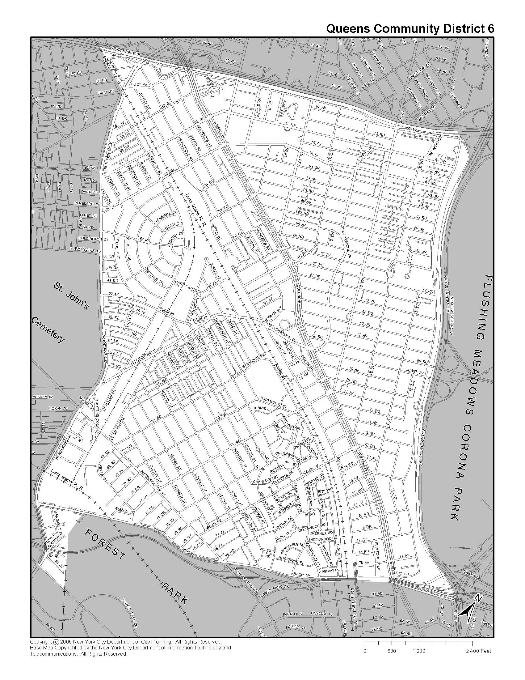
This is a map of boundaries within District 6 as recorded by the NYC Department of City Planning. This district is bounded by Woodhaven Boulevard, Union Turnpike, Long Island Expressway, and Grand Central Parkway. To view more maps and data about this community board, please visit the Queens Community District 6 Profile.
Queens CB 6 Land Use Map
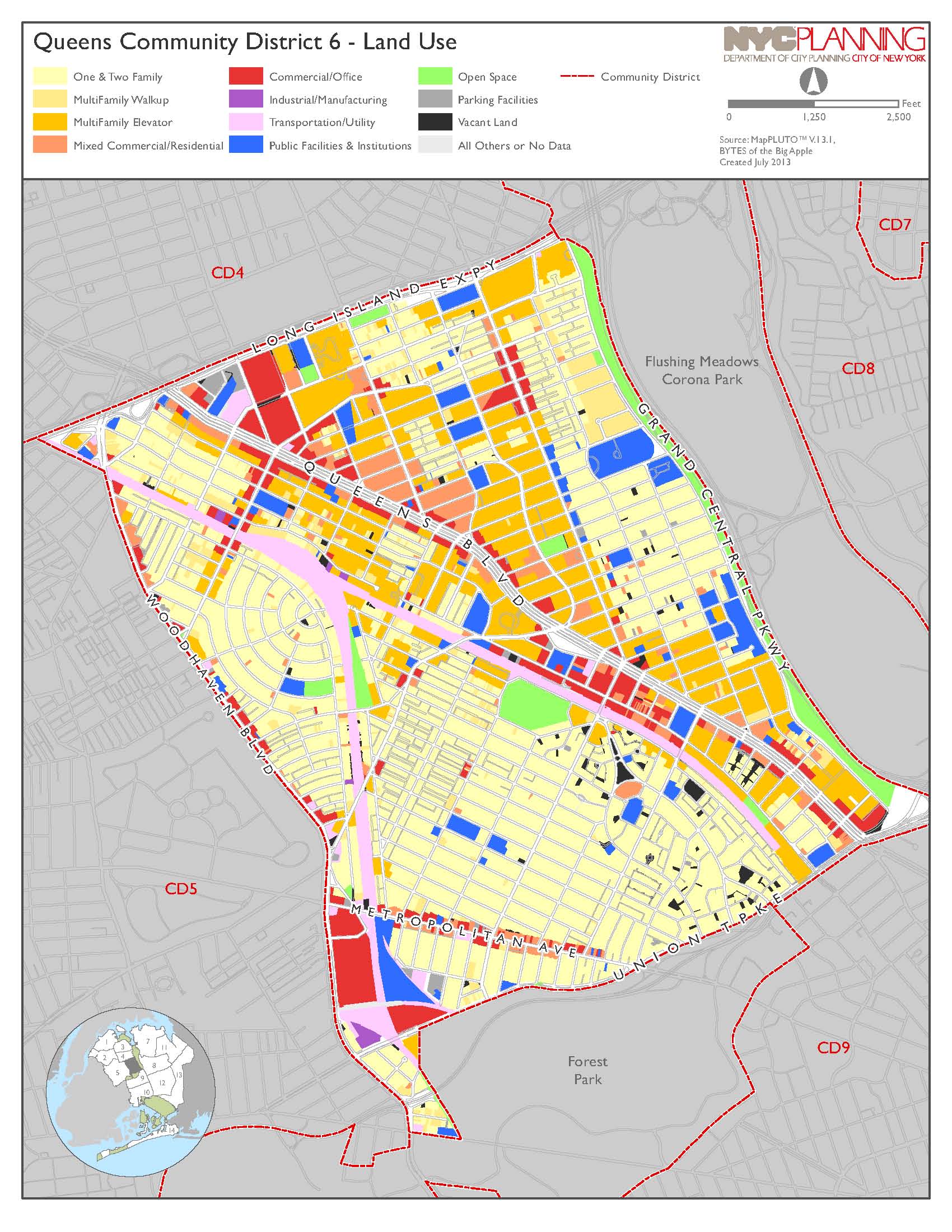
This Land Use chart provides total lot area by land use type according to the NYC Department of Finance lot measurements. To view the percentages by land use type, please visit the Queens Community District 6 Profile.
Queens CB 6 Zoning Map
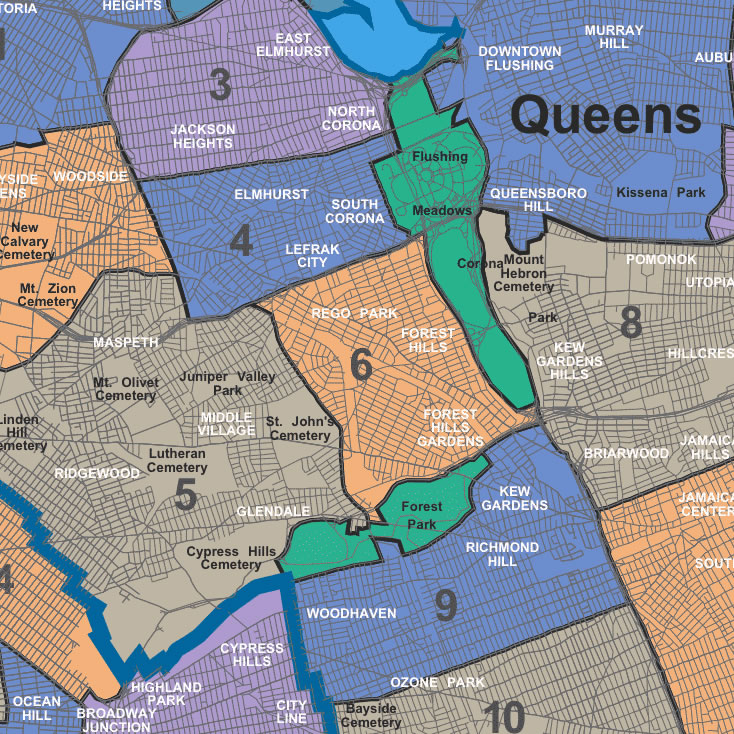
This is a map of the neighborhoods in Queens Community Board 14. There is also a focus on the neighborhoods in its surrounding community districts which include Community Boards 3, 4, 5, 8, 9, and 10. To view more maps and data about this community board, please visit the Queens Community District 6 Profile.