
 Department of City Planning311Search all NYC.gov websites


Brooklyn
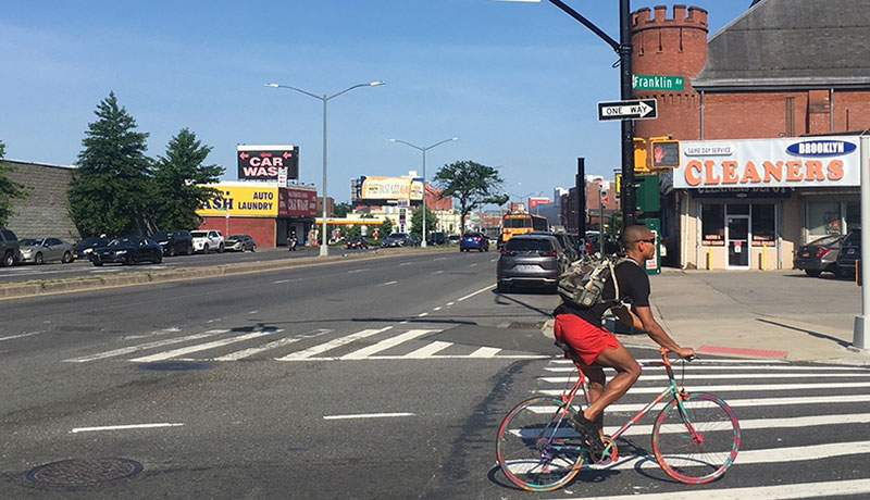
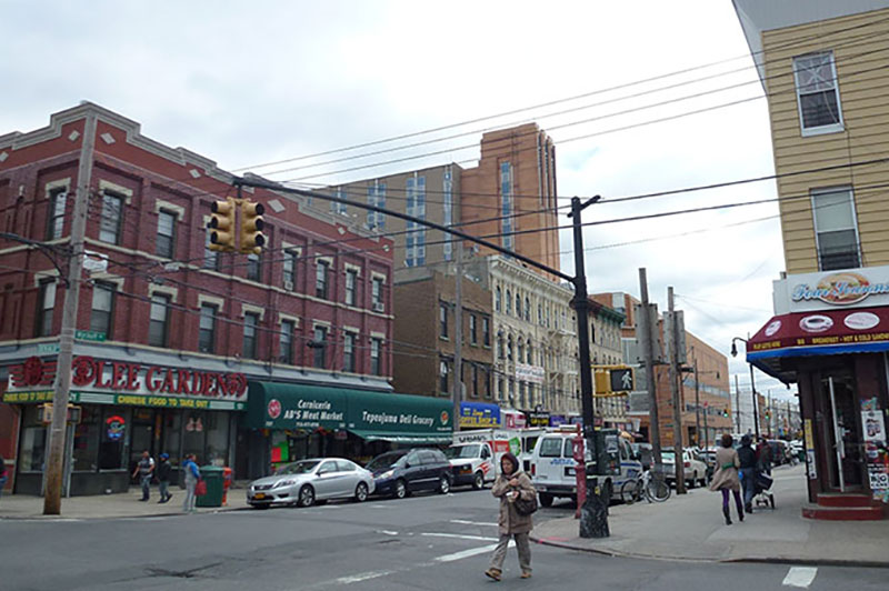
The Atlantic Avenue Mixed-Use Plan is a community-led plan for an inclusive, mixed-use stretch of Atlantic Avenue and neighboring blocks in Crown Heights and Bedford-Stuyvesant.
The plan would support new housing with affordable housing, new space for jobs and services, safer, more pedestrian-friendly streets and investments in neighborhood improvements. Learn more about the Atlantic Avenue Mixed-Use Plan.
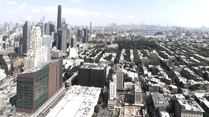
The Downtown Brooklyn and Fort Greene “Eds and Meds” Framework will support and guide the area’s economic recovery and continued growth as a vibrant 24/7 neighborhood. The Framework is an early step in planning Brooklyn’s Central Business District, which includes job centers in Downtown Brooklyn, DUMBO, and Brooklyn Navy Yard, and the area’s exceptional transit connections to the rest of the borough, city, and region. Learn more about the Downtown Brooklyn and Fort Greene - Eds and Meds Planning Framework.
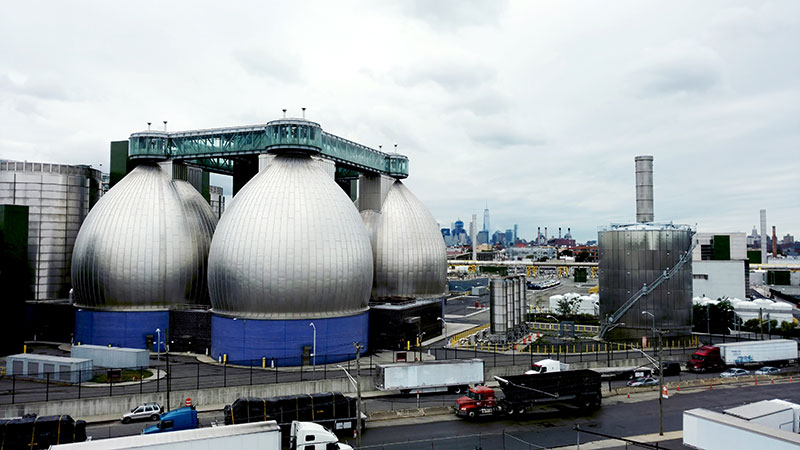
The North Brooklyn Industry & Innovation Plan, the largest study of an industrial area DCP has conducted in decades, was announced as part of Mayor de Blasio’s Industrial Action Plan and supports the New York Works jobs plan. It identifies strategies to better align local land use policy in the North Brooklyn Industrial Business Zone (IBZ) Study Area with the needs of today’s businesses while supporting citywide policies for a 21st century, diverse, and equitable economy. Learn more about the North Brooklyn Industry and Innovation Plan.
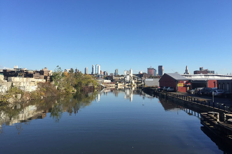
The Gowanus Neighborhood Planning Study is a comprehensive, collaborative effort with the community, government agencies, and various stakeholders to promote a thriving and inclusive neighborhood that balances a mix of goals and priorities, including affordable housing, economic development, resiliency and sustainability, and infrastructure improvements. Learn more about the Gowanus Neighborhood Planning Study. - Adopted 11/23/21.
The Bushwick Neighborhood Plan is a coordinated, collaborative planning effort of community residents, stakeholders, City Council Members Reynoso and Espinal, and City agencies to promote a thriving and inclusive neighborhood with strategies for affordable housing, economic development, community resources and land use and zoning changes. Learn more about the Bushwick Neighborhood Plan.
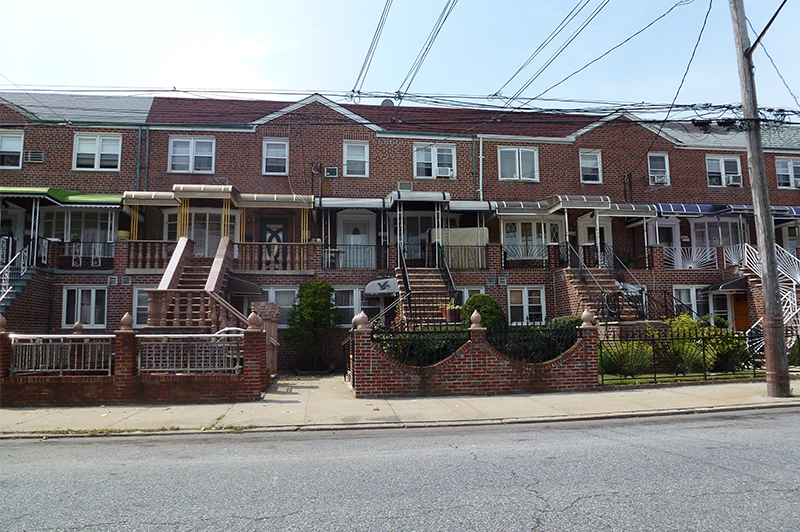
Resilient Neighborhoods - Canarsie identifies changes to zoning and land use and other actions that support the continued vitality of this neighborhood, reduce its risk associated with coastal flooding, and ensure the long-term resiliency of its built environment. Learn more about the Resilient Neighborhoods - Canarsie.
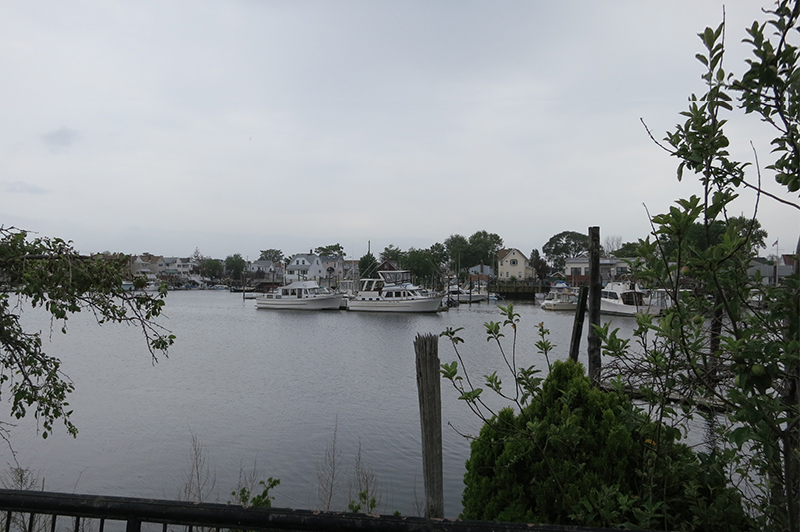
Resilient Neighborhoods - Gerritsen Beach reviews zoning regulations and potentially identifies any needed changes to zoning and land use that support the continued vitality of this neighborhood at risk of coastal flooding and ensure its long-term resiliency. Resilient Neighborhoods - Gerritsen Beach.
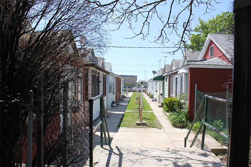
Resilient Neighborhoods - Sheepshead Bay identifies changes to zoning and land use to support the continued vitality of this neighborhood, reduce its exposure to risk associated with coastal flooding, and promote the long-term resiliency of its built environment. Learn more about the Resilient Neighborhoods - Sheepshead Bay.
Red Hook Transportation Study identifies incremental improvements that can be made by the City and Metropolitan Transportation Authority (MTA) to improve transportation for all modes and users in the community of Red Hook, Brooklyn. The report’s recommendations were drawn up in consultation with the local Red Hook community. Learn more about the Red Hook Transportation Study.
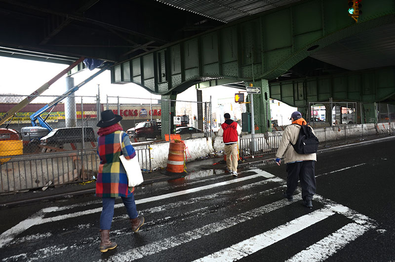
Atlantic Avenue Corridor examines the avenue between Barclays Center/Vanderbilt Avenue and East New York/Eastern Parkway Extension and reviews its potential to serve as a multimodal corridor that accommodates a wide variety of users to serve the transportation needs of businesses, residents, and visitors throughout the area in the future. Learn more about the Atlantic Avenue Corridor.